
Watching reservoirs from space
Measure reservoirs with open satellite data: today's water surface, ten years of monthly change, rainfall and drought upstream, water-quality signals and an AI change radar.
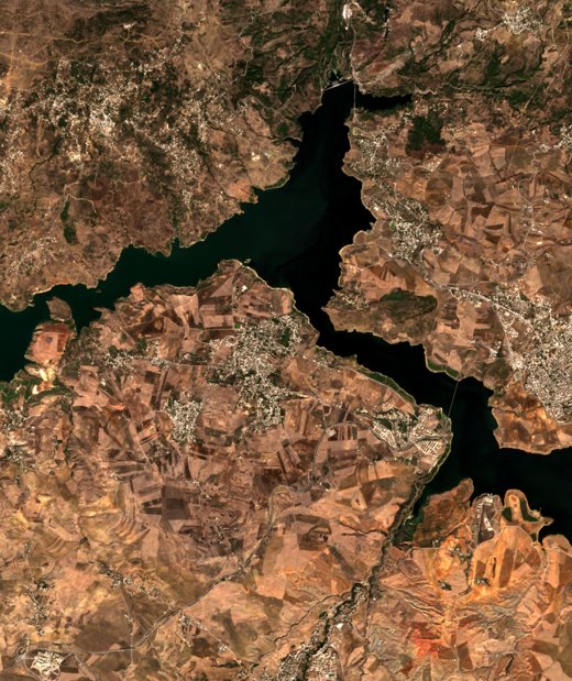
Reservoirs from space
Choose a reservoir, map today's water live from Sentinel-2, follow ten years of change, link it to rainfall and drought, read water-quality signals and run the AI change radar.
Erosion and siltation risk
Where a reservoir's sediment comes from: the RUSLE soil-loss model from open rainfall, soil, terrain and land-cover data, with an order-of-magnitude siltation estimate.
Floods through the clouds
Map the 2022 floods at the Niger–Benue confluence with Sentinel-1 radar, which sees through clouds, then try a flood you know.
Your own reservoir monitor
Any reservoir on Earth: a monthly open-water record and report files, computed with the workshop's method.
Minerals, mining and water
Read the mineral make-up of rock from orbit, test what each sensor can see, use an AI foundation model, and follow mines and rivers through time.
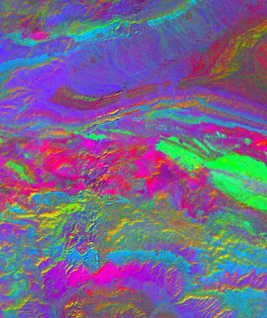
Minerals, mining and water
Mineral fingerprints, one district seen by four sensors, AI similarity search and mapping with an honest test, mines growing since 1990, and mining's mark on rivers.
Transparent prospectivity mapping
A knowledge-driven prospectivity map for an Algerian gold district, with every weight visible and an honest check against known mining areas.
Hyperspectral deep dive
Work with real EnMAP spectra: absorption depths, spectral angle mapping and a comparison with NASA's EMIT mineral identifications.
Structures from elevation data
Lineaments, their directions and density from the Copernicus elevation model, and how alteration gathers around them.